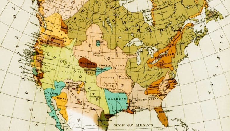
In addition to providing practical information, maps can offer insights into history, identity, and power structures, a new book shows.
The stories maps tell—and particularly the way they can show how some troubling aspects of the colonial past continue to affect our present—are primarily what interest Kyle Wanberg, a clinical associate professor in global liberal studies and author of the new book Maps of Empire: A Topography of World Literature (University of Toronto Press, 2020).
“There is a haunting effect of old maps,” says Wanberg, citing one example of how boundaries set down on paper decades ago continue to determine how people live and think now. “A map of Africa in 1885, after European leaders divided up the continent at the Berlin Conference, looks eerily similar to the map of the continent today.
“It is important to understand that the lines drawn at the end of the 19th century split up communities, cut off traditional trading networks, and brought people together in a haphazard way, resulting in new identities and collectivities.”
And maps, with their power to shape narratives, Wanberg argues, have deeply influenced culture, including literature.
“Maps have continued to shape social and cultural ideas of national or imperial affiliation,” he writes in Maps of Empire, adding: “Literature that is tied to a sense of place, recreating and reimagining the cultural and social possibilities of that place, has this very transformative potential.”
Here, Wanberg speaks about maps as a historically underappreciated force—with a big impact on the written word:
The post Maps depict and shape history, power, identity appeared first on Futurity.
from Futurity https://ift.tt/39Wj3qz
No comments:
Post a Comment